We take a holistic approach to the operations and maintenance of our clients' water assets.
Whether those clients are water authorities, government bodies, mining companies or irrigators, they need to have the best possible information on the water that is integral to their operations. Ventia's specialist teams give our clients accurate, real-time information on water - its quality, its quantity, or its availability - so they can make informed decisions.
Our Environmental Monitoring business has one of the largest teams in Australia. We operate 1200 permanent water information stations, including stream, irrigation, water storage, water quality and meteorological sites. We also monitor 1500 groundwater bores as part of the Victorian Groundwater Monitoring Network and over 400 service stations across Australia. Over half of our monitoring network use telemetry, providing near real-time data to our clients, with over 300 of these sites hosted on secure client dedicated websites.
Our broad capabilities include:
- groundwater measurement
- surface water measurement
- water quality monitoring
- flood warning networks
- residual chlorine sampling.
We also provide ancillary services such as:
- telemetry management (more on this below)
- systems software
- testing, installation and design of new instruments.
- website hosting
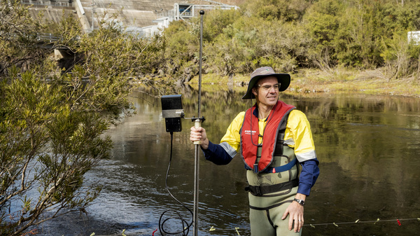
Surface water monitoring - Monitoring water is crucial for proper management of water resources. Our specialised Surface Water team has extensive experience in operating existing long-term water monitoring stations, and in establishing and then managing new stations. We continuously monitor water quantity and quality - including stream flows, water temperature, salinity, pH and turbidity - as well as collect water samples for quality testing. To make it as valuable as possible for you, data is accurately quality coded to ensure it is high-quality and fit for purpose. It is supplied to you in your requested format, both as quality assured data, and as operational data. Operational data is delivered in real time directly to you or via an interactive web portal, to allow you to make important operational decisions in real time.
Groundwater monitoring - Samples of groundwater from underground aquifers are collected via low-flow, passive, purging, 3-volume and in-situ sampling methodologies. These samples are then analysed to determine the quality of the groundwater, to monitor changes in that quality, or to detect contamination.
Telemetry & real time data - Using telemetry means our clients get data for less cost. Monitoring groundwater bores and water in remote areas at high frequencies is not cost-effective but using telemetry networks means you get a desktop view of your monitoring network from anywhere in the world. Our high-tech telemetry information management system was developed in-house with our clients' needs in mind. Data is collected on-site, received by a cloud-based server, and then transmitted to our in-house system, where data is analysed by our team of experts according to individual client requirements.
Bore camera investigations - Purpose-built cameras send vision via CCTV, and are used to view and measure bore screen depths, inspect for blockages, casing breaches and lost pumps.
Downhole bore rehabilitation - Restoring an existing bore means there is no need for costly re-drilling or locating another key monitoring location. First the condition of the bore is assessed, using CCTV to determine the extent and nature of the issue. That information forms the basis for advice from our expert team. We can then provide high-tech restoration services including airlifting, jetting, flushing, surging and bore casing re-lining.
Hydrology and data management - Our Data and Hydrology team solves clients' problems around quantity, quality and availability of water. This might involve anything from field investigation and performing stream discharge measurements, to analysis, quality assurance and storage of data. The team also produces stage (level) - discharge (flow) rating tables. These tables allow us to calculate flow data, and form the basis for the data management, interpretation, storage, analysis and reporting we do for clients, such as the work we do determining accurate flow figures for rivers and streams around Victoria. We can also give you advice on site installation to ensure the greatest possible accuracy in data collection, or calculate the uncertainty and accuracy of hydrological measurements.
Meter Verification Services - Our specialised measurement techniques also include expertise in calculating the accuracy of in situ testing of small farm irrigation meters to assist with network accuracy. As part of our work, and our involvement with the developing technology in industry we also work to develop more complex 'rating tables' such as the correction tables required for direct velocity measurement with instrumentation, known as Index Tables.
Landfill monitoring - Local councils and landfill operators must meet tightening regulations, and increased expectations around control and management of their landfill sites. To help these clients meet these regulations we offer a variety of monitoring services including groundwater and surface water monitoring.
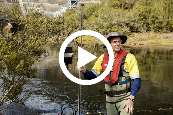
Watch the short video to see our water monitoring team in action

